
Description
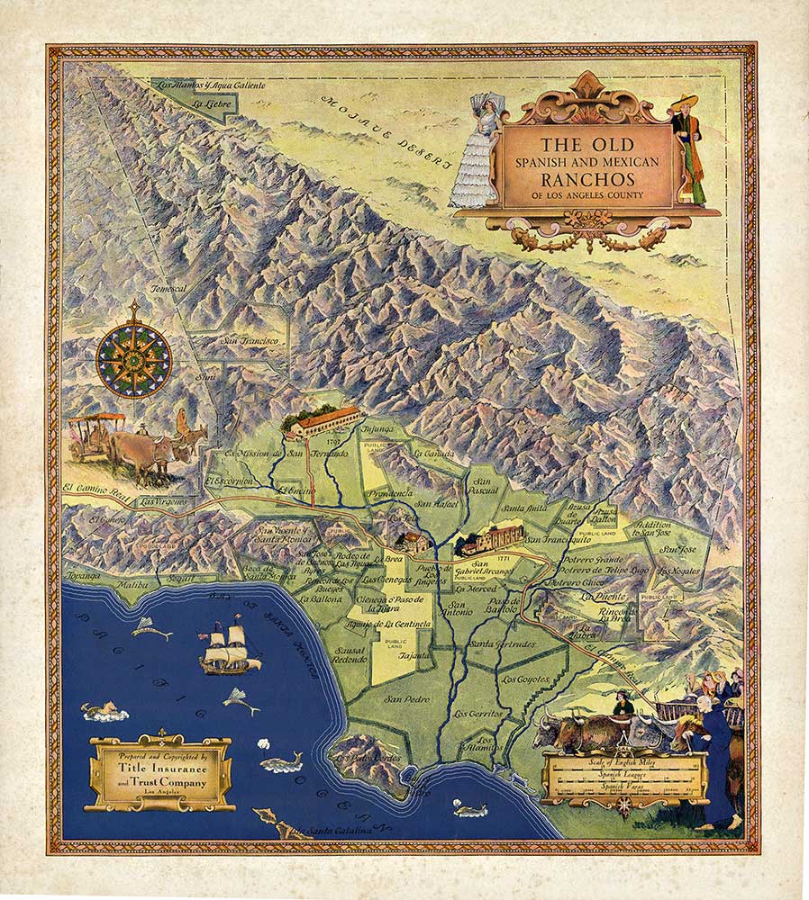
Old Spanish & Mexican Ranchos Map, Los Angeles
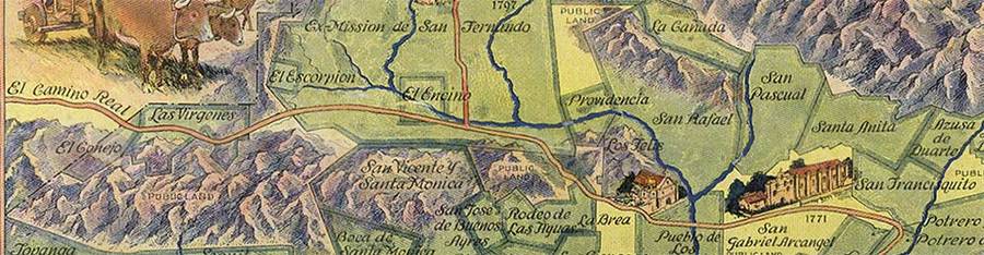
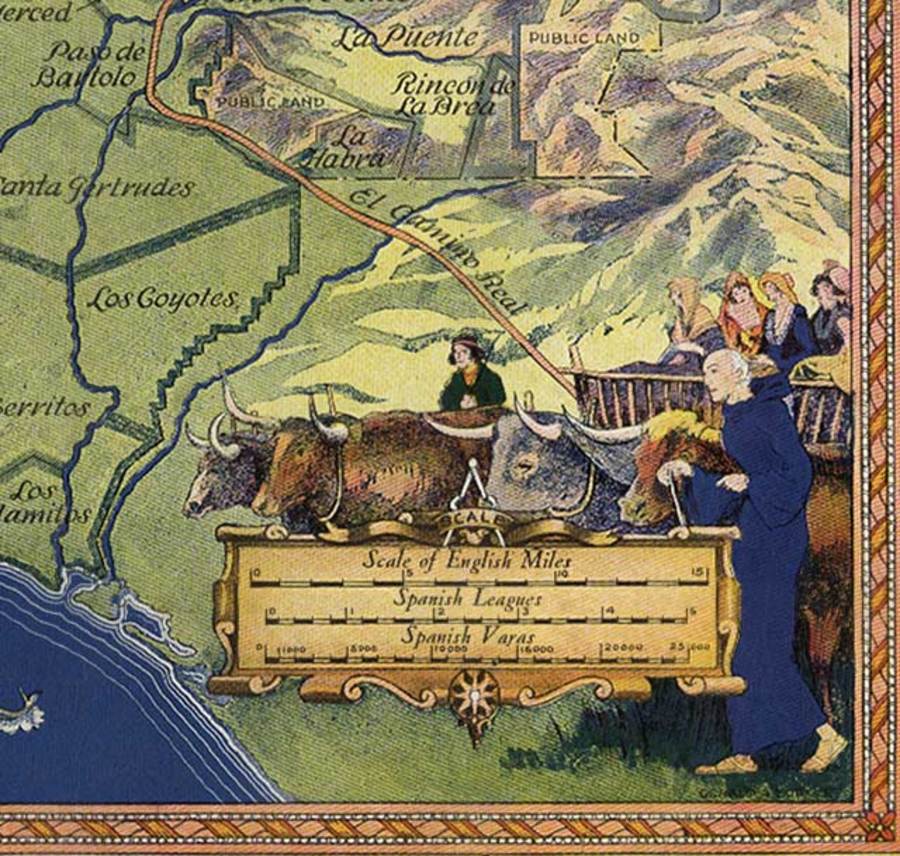
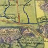
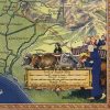
A richly illustrated pictorial map by Gerald A. Eddy, mapping early Californian land grants with decorative vignettes—missions, ranch life, maritime elements—layered across a detailed topography from coastline to mountains.
Details:
• Artist: Gerald A. Eddy
• Year: 1937
• Publisher: Title Insurance & Trust Company
• Medium: Original lithograph on parchment-style paper
Condition:
Very good image area; foxing confined to outer border.
Dimensions & Framing:
Unbacked; suitable for framing with matting.
Provenance & Background:
Documents early Spanish and Mexican land grants, blending historical cartography with narrative illustration.
Authenticity:
Original lithograph. COA included.
Purchase & Shipping:
Secure worldwide shipping.




Reviews
There are no reviews yet.