
Description
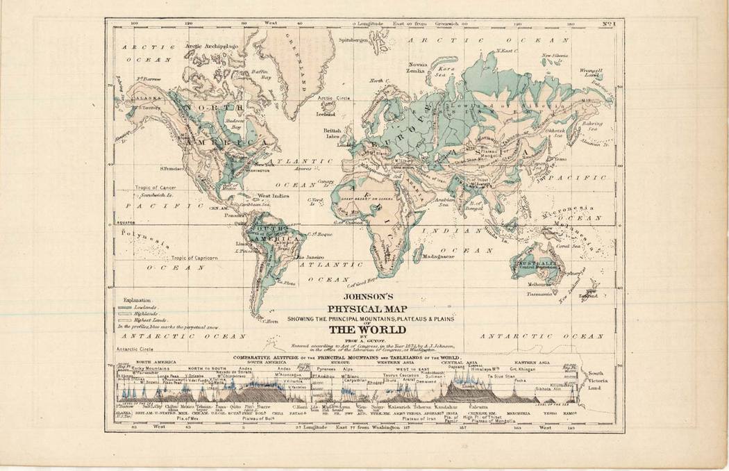
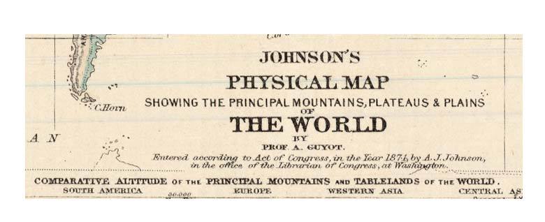
Johnson’s Physical Map of the World 1871 antique atlas lithograph with comparative elevations chart
Johnson’s 1871 physical map of the world presents geography as structure rather than boundary, emphasizing terrain, elevation, and the underlying form of the continents. Oceans, mountain ranges, and landmasses are rendered with subtle color gradation, guiding the eye across relief rather than political division and reflecting a 19th-century interest in the scientific reading of the earth.
Despite its relatively compact format, the map manages a remarkable density of information. Coastlines, river systems, and topographical variations are carefully articulated, while the restrained palette keeps the composition legible and balanced. The engraving prioritizes clarity over ornament, allowing the physical features themselves to define the visual rhythm.
A distinctive feature is the comparative elevation chart running along the lower margin, aligning the world’s principal mountains and tablelands within a single continuous scale. This addition transforms the sheet from a conventional map into a teaching instrument—inviting comparison, measurement, and a broader understanding of global geography.
An elegant example of late 19th-century cartographic design, where aesthetics and scientific intent are closely intertwined.



Reviews
There are no reviews yet.